A property survey is a detailed, professional measurement and mapping of your home’s boundaries, structures, and land features.
In simple terms: it tells you exactly where your property begins and ends — and whether there are any legal issues like encroachments, easements, or zoning conflicts that could affect your ownership rights.
Even if the lot looks perfect and the fence “seems” like the boundary, you can’t rely on appearances. Only a survey gives you the legal facts.
For buyers in Lake Marion and the surrounding areas of Santee, Summerton, and Eutawville, surveys are especially important. Many properties here have:
- Waterfront boundaries that can shift over time
- Older plats that may not match current conditions
- Shared access easements for docks, fishing paths, or boat ramps
- Unique shapes due to subdivision of family-owned land
Skipping this step could mean taking on problems you didn’t know existed until it’s too late.
Protecting Your Property Rights
A property survey does more than draw lines on paper — it protects your right to use and enjoy your land without interference.
Without a survey, you might:

- Think you’re buying more land than you actually own
- Accidentally build on a neighbor’s lot
- Inherit an old boundary dispute
- Miss an easement that allows others to use part of your property
Example:
A couple bought a lakefront home with a beautiful dock. Two years later, a neighbor claimed the dock was partly on their lot. The buyers had no survey to prove otherwise. The dispute went to court, costing thousands in legal fees. Had they gotten a survey before closing, the issue would have been caught and resolved before purchase.
What Surveys Show That Protect You:
- Exact boundary lines — essential if you ever build, add a fence, or subdivide
- Easements — legal rights allowing others access to parts of your land (like utilities, shared driveways, or lake paths)
- Encroachments — when structures cross property lines (fences, sheds, docks, or even parts of homes)
- Setback requirements — restrictions on how close you can build to property lines, roads, or the water
- Recorded rights-of-way — areas where other property owners may have passage rights
In South Carolina, once you own the problem, it’s yours — even if you didn’t cause it. A survey prevents this.

Avoiding Costly Disputes and Delays
Property disputes can turn neighborly smiles into court summons. They also tend to pop up when you least expect it — like when you’re selling, refinancing, or making improvements.
A survey helps you avoid:
- Legal battles over land ownership
- Permit denials due to unclear property lines
- Costly fence or structure removals
- HOA fines for violating lot boundaries
Local Scenario:
A buyer purchased a golf course home and put up a new privacy fence. Weeks later, the HOA notified them it was built two feet into common green space. Without a survey before building, they had to pay to remove and relocate the fence — plus HOA legal fees.
Average Costs of Not Getting a Survey:
- Fence removal/rebuild: $2,000–$5,000
- Court battle over boundaries: $10,000–$25,000+
- Dock relocation on Lake Marion: $8,000–$20,000
- Loss of buildable space due to easements: Priceless
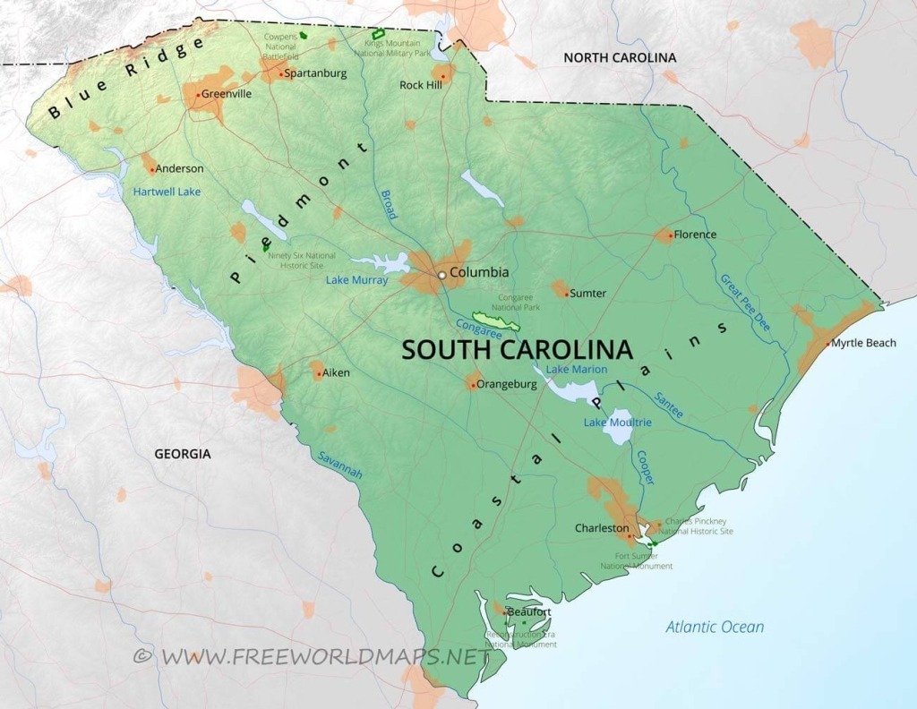
The Role of Surveys in Waterfront & Rural Lake Marion Properties
Waterfront and rural land ownership can get complicated — especially around Lake Marion where boundaries may involve:
- Shoreline fluctuation — Water levels can shift property edges
- Dock placement rules — Dock permits require precise lot lines
- Shared lake access — Unrecorded paths may allow neighbor access
- Multiple adjoining parcels — Family-owned land often has unclear divisions
Example: A buyer closed on a wooded lake lot planning to build a cabin. The survey revealed that 15 feet of the lot’s “lake access” was actually owned by the neighbor. Without the survey, they would have built a dock illegally.
The Types of Property Surveys in South Carolina
When buying in South Carolina, you’ll likely consider:
- Boundary Survey – Marks exact property lines.
- ALTA/NSPS Survey – A detailed survey for commercial or high-value transactions, showing boundaries, easements, and improvements.
- Topographic Survey – Includes land elevations and features — important for building projects.
3. Floodplain Survey – Shows elevation in relation to flood zones (critical for Lake Marion waterfront).
4. Subdivision Survey – Required if dividing land into smaller lots.
For most homebuyers, a boundary survey is the minimum. But in Lake Marion’s flood-prone and waterfront zones, adding a floodplain survey is wise.
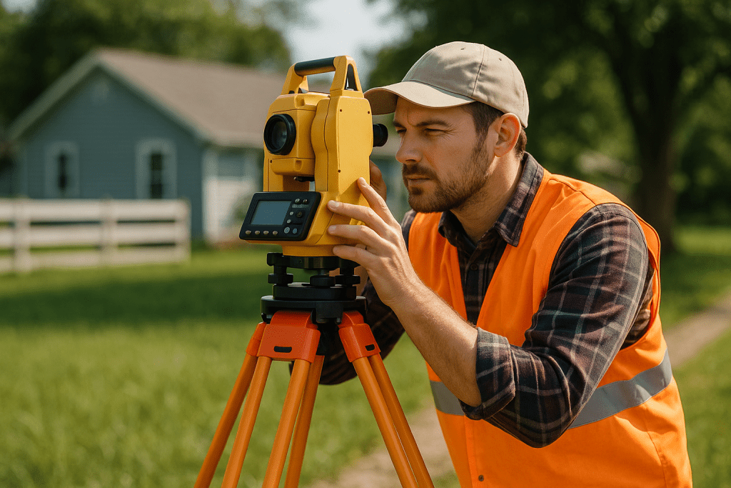
How the Survey Process Works in South Carolina
- Hire a Licensed Surveyor – South Carolina requires surveys be performed by licensed professionals.
- Property Research – The surveyor reviews public records, plats, and deeds.
- On-Site Measurements – GPS and laser tools record exact points on your land.
- Drafting the Survey Map – Includes boundaries, structures, easements, and any encroachments.
- Delivery to Buyer & Attorney – This becomes part of your permanent property file.
Timing Tip: Order the survey early in your due diligence period so any issues can be resolved before closing.
Legal Implications of Skipping a Survey
- Encroachments become your problem — Even if they were created by a previous owner.
- You may lose land — If a court rules your neighbor has adverse possession rights.
- Building plans can be halted — If the structure violates setbacks or zoning.
- Waterfront rights may be challenged — Without proof of exact boundaries, your dock permit could be denied.
In South Carolina, title insurance does not automatically cover boundary disputes unless a survey is provided at closing. Skipping it can mean less protection.
FAQ: Surveys for South Carolina Homebuyers
Q: Is a survey required in South Carolina?
No — but lenders often require one, and smart buyers always do it.
Q: How much does a survey cost?
$400–$1,500 for most residential lots, higher for acreage or waterfront.
Q: Who pays for the survey?
Usually the buyer, but it’s negotiable.
Q: Can I use an old survey?
Only if no changes have occurred. Lenders often require one under 10 years old.
Q: Does a survey show flood zones?
Not always — request a floodplain survey if you’re near Lake Marion.
Q: How long does it take?
1–3 weeks depending on property size and surveyor availability.
Work With Carolina Properties for a Clear & Confident Purchase
At Carolina Properties at Lake Marion, we don’t just help you find a property — we help you protect it before you sign:
- We connect you with trusted local surveyors who know Lake Marion’s unique terrain.
- We review your survey results to spot potential issues early.
- We coordinate with closing attorneys to ensure all documents match your actual land boundaries.
- We guide you through easements, setbacks, and HOA rules so there are no surprises after closing.
Whether you’re buying a lakefront escape, a golf course villa, or acreage in the countryside, a survey is your first defense against legal and financial headaches.
Call Carolina Properties Today to make sure your property purchase is accurate, secure, and hassle-free.